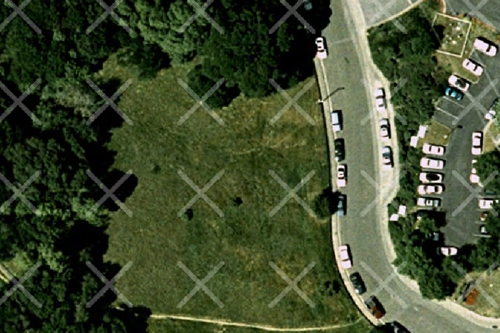
For raster images, you can create test images to test an image manipulation or compression operation without using data from the data cartridge. Test images are output images that have a visible watermark. You can create images and mosaics as test images, but not LiDAR point clouds.

As an example, in order to create a test encode of the image foo.tiff, you would use the following syntax:
mrsidgeoencoder -i foo.tiff -testencode -o foo.sid
You can use the test encode function in combination with any other encode settings such as mosaic, compression ratio, cropping, etc.