Set options for LiDAR point clouds stored as text files.
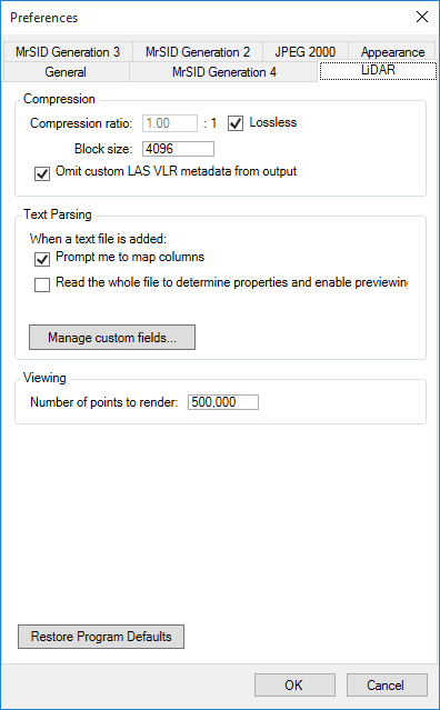
The following figure shows the Text Parsing preferences pane in the middle of the LiDAR preferences tab:
If you select this check box, GeoExpress displays a dialog that you can use to select columns from the input text file and map their values to standard fields like X, Y, Z, intensity, and more.
If you select this check box, GeoExpress reads all of the data in the input text file to determine properties like the point cloud extents and to enable previewing the file.
Click the Manage Custom Fields button to see the default fields available for LiDAR point clouds and to create custom fields. For example, you may want to create a custom field for a non-standard time format, for sensor information, and more.